|
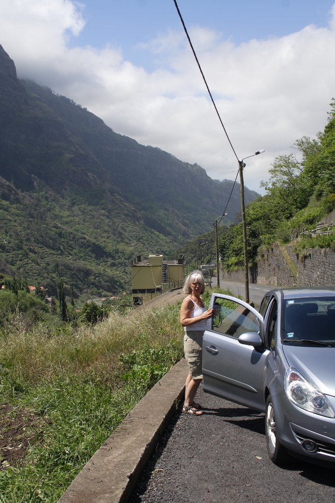 |
| On the road to Encumeada | |
| Latitude: N 32°43'50,73" | Longitude: W 17°1'28,22" | Altitude: 491 metres | City: Serra de Agua | State/Province: Madeira | Country: Portugal | Copyright: Ron Harkink | See map | |
| Total images: 62 | Help | |
|
|
|
| On the road to Encumeada | |
| Latitude: N 32°43'50,73" | Longitude: W 17°1'28,22" | Altitude: 491 metres | City: Serra de Agua | State/Province: Madeira | Country: Portugal | Copyright: Ron Harkink | See map | |
| Total images: 62 | Help | |